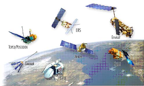
| Present day mapping has been improved by satellite altimetry. Earlier there remained a lot of gaps when mapping was done with ship routes. Now data from the satellites can be interpolated with marine data to obtain better resolution. Around 1965, resolution of sea floor mapping was 1 degree and today (2003) we have a resolution of 1 minute (1.9 km). Satellite altimetry allows faster coverages compared to marine missions with better cost efficiency. It helps us to find the zone of interest quicker than before and the marine survey can be concentrated on that area. This method helps us to find the tectonic fabric of the ocean floor with a global view. It finds a wide usage in tectonics for plate reconstructions giving better constraints on past plate motions. It also helps in locating sea mounts by understanding parameters like their distribution, hot-spot tracks, hot-spot flux through time and strength of the lithosphere. However, there are a few limitations. Corrections have to made for waves and tides. Satellites presently cannot record information beyond 81.5 degree latitudes. |  |